Niigata Prefecture
A prefecture formed from the famous rice-producing region of Echigo Province and Sado Province, where gold and silver mines once flourished.
A prefecture situated at the northern extremity of the Chubu Region, facing out onto the Sea of Japan. Includes Sado Island in the Sea of Japan, and the island of Awashima, located to its north. From north to south, Niigata borders the prefectures of Yamagata, Fukushima, Gunma, Nagano, and Toyama. Here, the Asahi, Echigo, and Mikuni mountains tower above low-lying areas, and the Agano, Shinano, and Seki Rivers flow through, making the Niigata Plain a region famous for its rice production. Seasonal northwesterly winds are strong in wintertime, and snowfall is heavy.
The Kojiki (“Records of Ancient Matters”) and Nihon Shoki (“The Chronicles of Japan”) contain passages mentioning Sado Island and Sado Province, and Echigo Province was formed by the breakup of Koshi Province at the end of the 7th century. From the Kamakura period (1185–1333) into the Muromachi period (1336–1573), exiles were made of Shinran to Echigo Province and Juntoku-in, Nichiren, and Zeami to Sado Province. While during the Sengoku (Warring States) period (approx. 1467–1568), Nagao Kagetora (later known as Uesugi Kenshin) became the daimyo feudal lord of Echigo, wielding great power, and his adopted son Uesugi Kagekatsu was compelled to relocate to Aizu. In the Edo period, Echigo Province was divided into ten-odd feudal domains and shogunates, including the Takada Domain, while in the shogunate-controlled Sado Province, gold and silver mines flourished under the dominion of the Sado magistrate. When the prefectural system was introduced and the han domain system abolished with the Meiji Restoration, the prefectures of Niigata and Kashiwazaki were initially established, along with Aikawa Prefecture, which formed from Sado Province, but by 1876, the three were consolidated into Niigata Prefecture. The prefecture established its current boundaries with the transfer of Higashikanbara County from Fukushima Prefecture in 1886.
ゆかりの人物
Uesugi Kenshin

直江兼続(なおえかねつぐ)
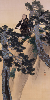
Matsuo Basho
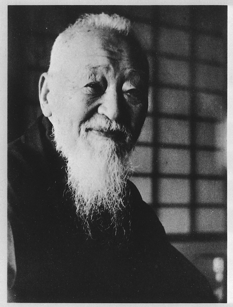
良寛(りょうかん)
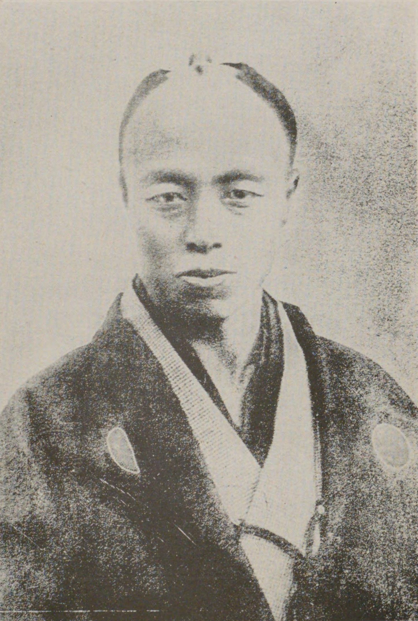
河井継之助(かわいつぎのすけ)
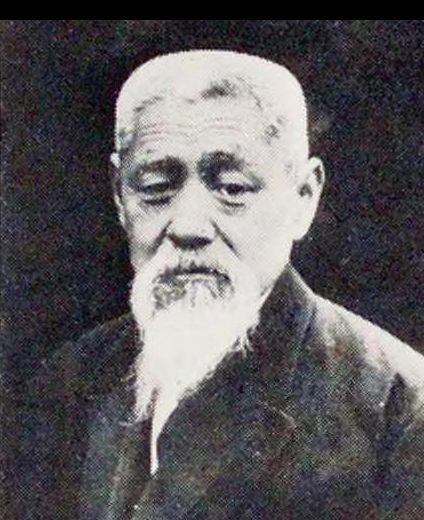
前島密(まえじまひそか)
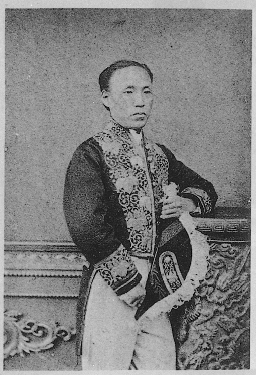
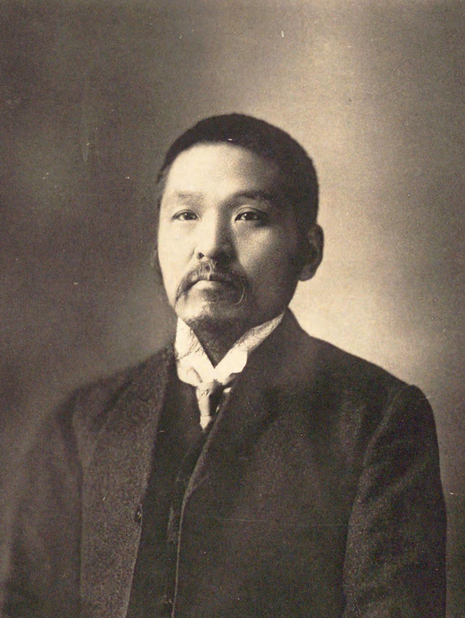
益田孝(ますだたかし)
井上円了(いのうええんりょう)
吉田東伍(よしだとうご)
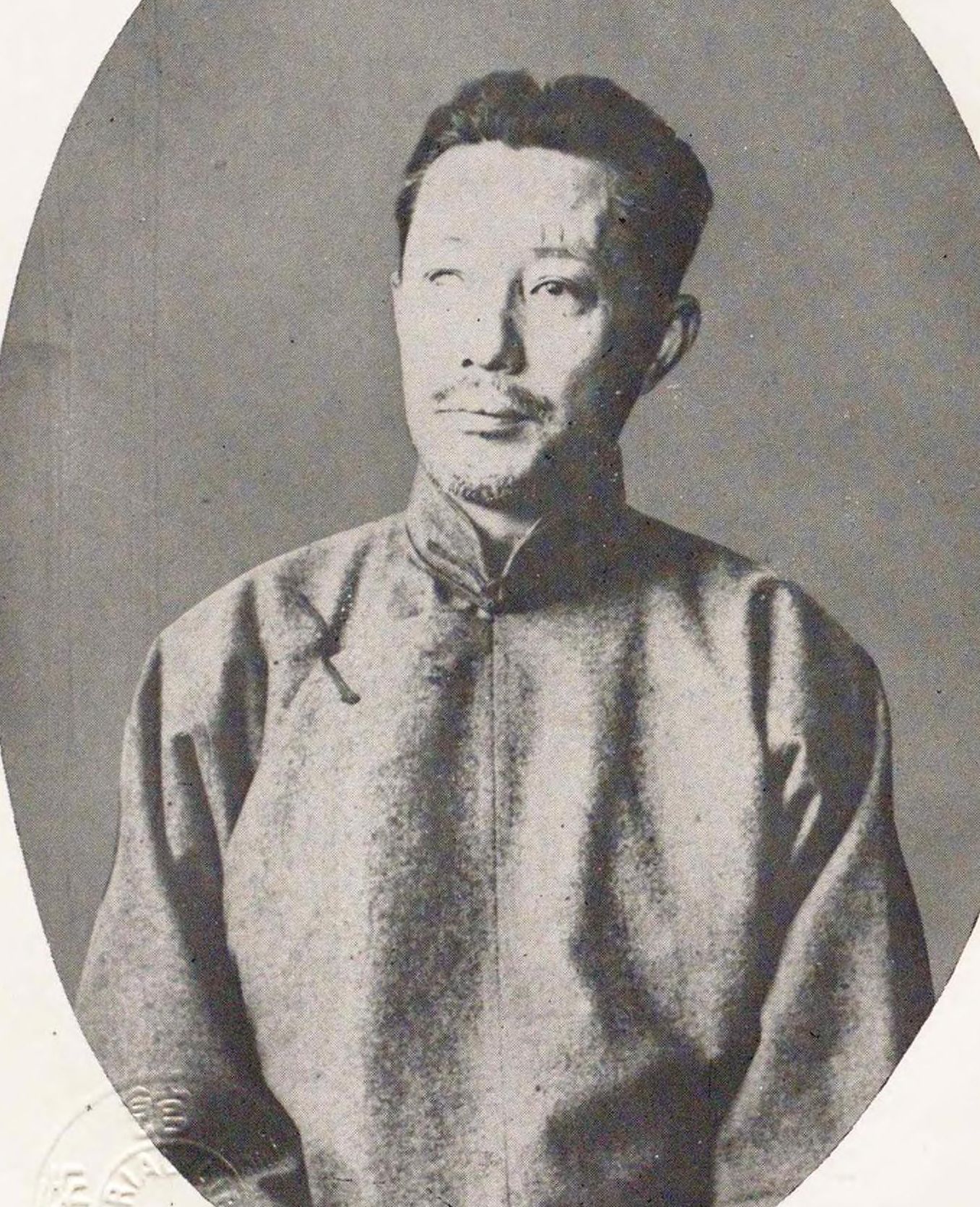
北一輝(きたいっき)
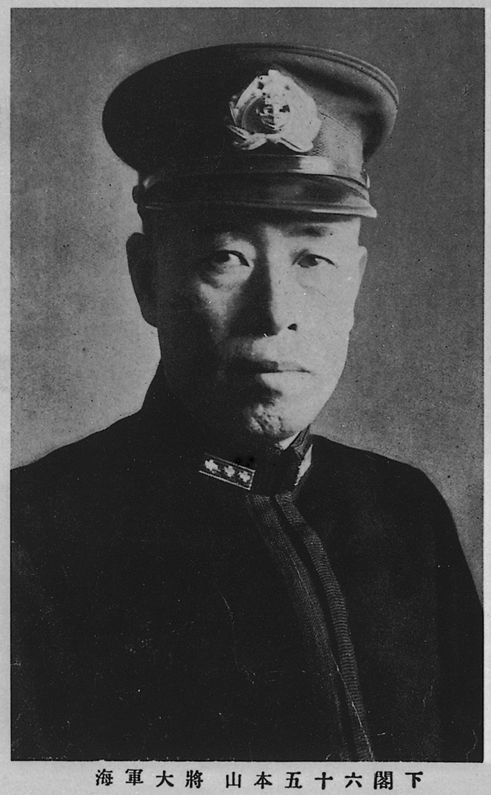
山本五十六(やまもといそろく)
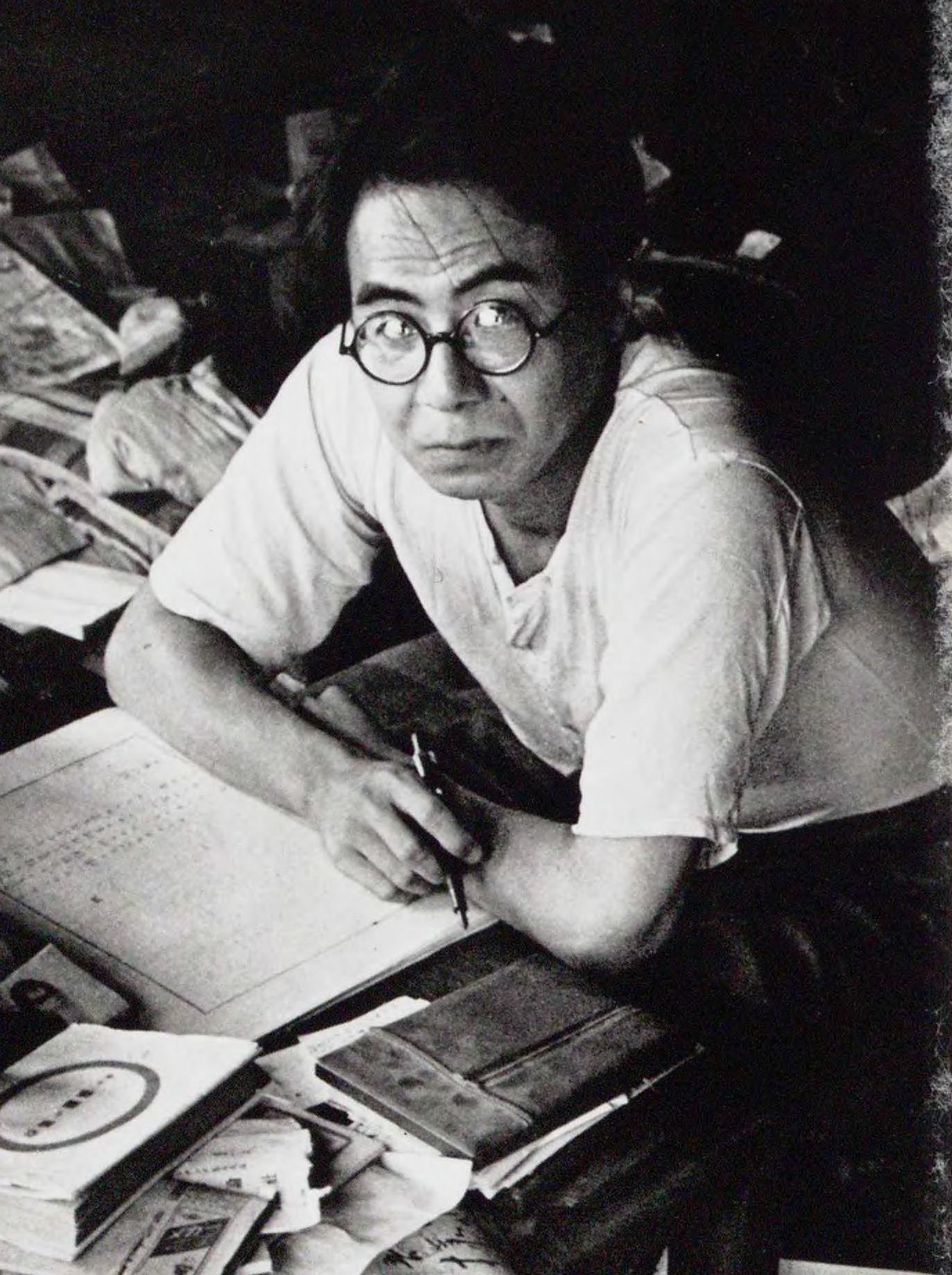
坂口安吾(さかぐちあんご)
名物・特産
越後米
Japanese Sake (Nihonshu)
Salmon

錦鯉(ニシキゴイ)
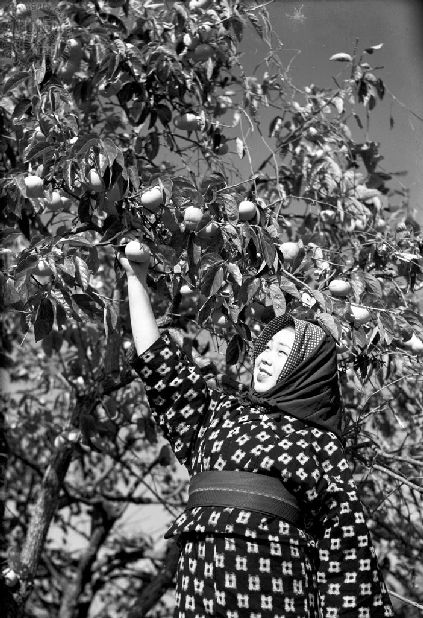
おけさ柿
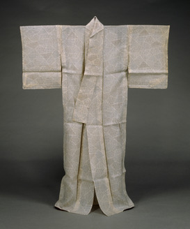
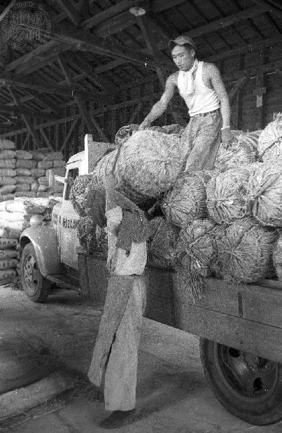
越後上布(えちごじょうふ)

南蛮エビ
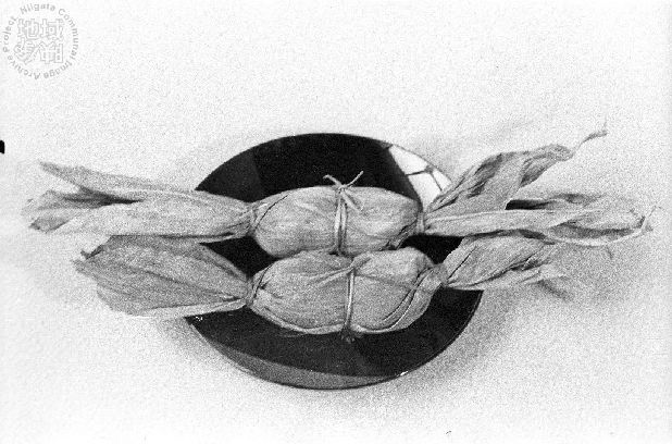
笹団子
Toki (Japanese Crested Ibis)
名所・史跡
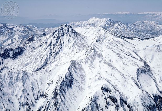
妙高山
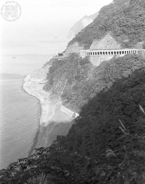
親不知(おやしらず)
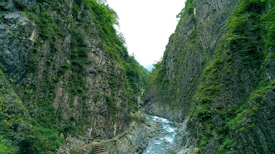
Kiyotsu Gorge
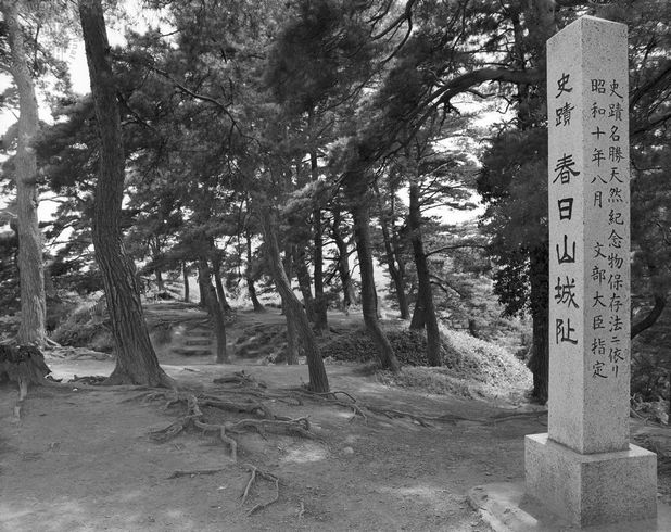
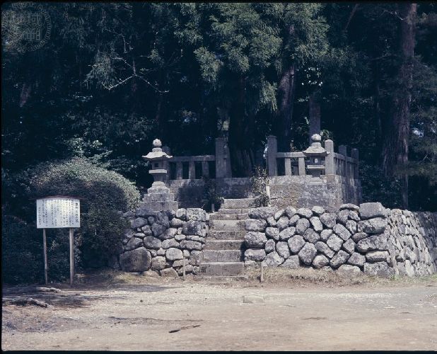
春日山城跡
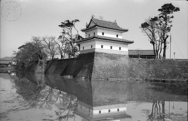
新発田城(しばたじょう)

彌彦神社(やひこじんじゃ)
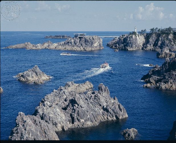
尖閣湾(せんかくわん)
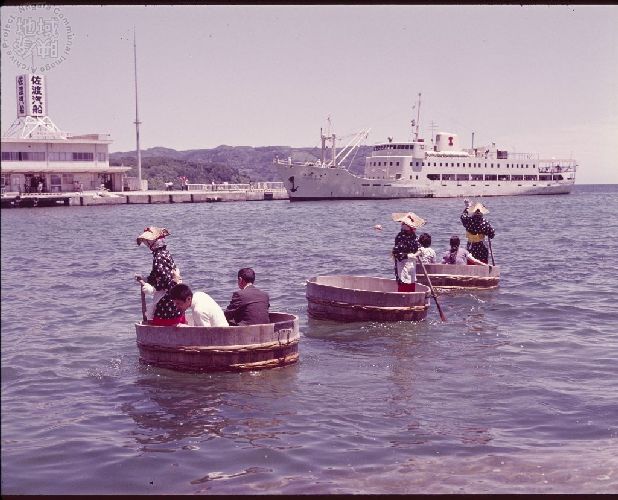
小木港(おぎこう)のたらい舟
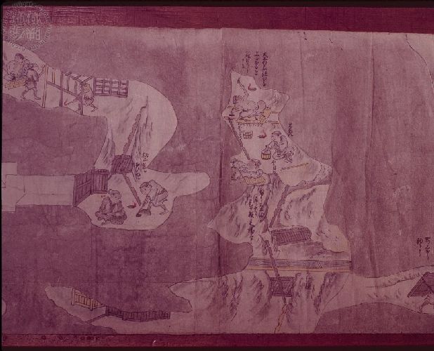
佐渡金銀山
出来事・行事
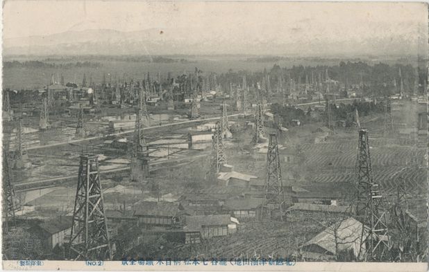
新津油田(にいつゆでん)
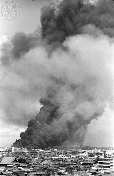
新潟地震

上越新幹線開業記念特定特急券(見本券)
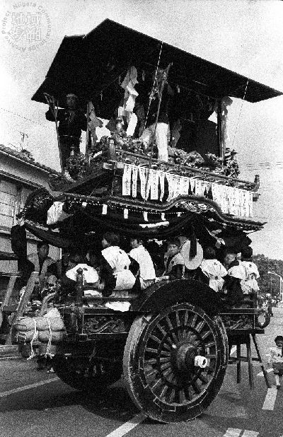
岩船大祭
糸魚川けんかまつり

牛の角突き
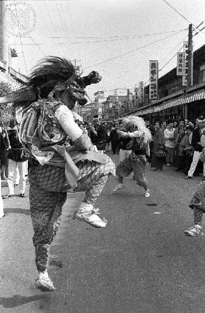
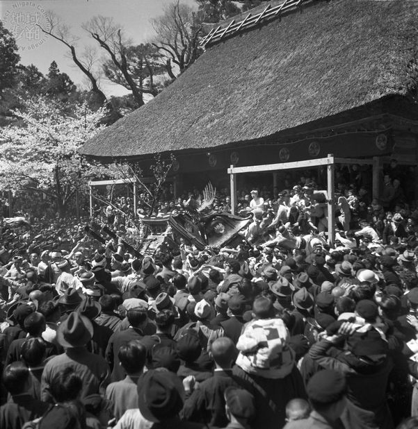
鬼太鼓(おんでこ)

長岡花火
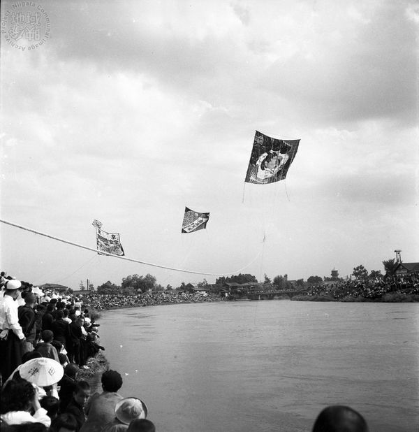
白根大凧合戦
Figures exiled to Echigo and Sado

Shinran
順徳天皇
The Buddhist Priest Nichiren
日野資朝(ひのすけとも)
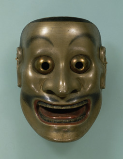
Zeami
もっと調べる
参考文献
- 『日本大百科全書(ニッポニカ)』(JapanKnowledge)
- 『改訂新版 世界大百科事典』(JapanKnowledge)
- 『国史大辞典』(JapanKnowledge)
- 日本歴史地名大系(JapanKnowledge) 『新潟県の地名』
- 電子展示会「近代日本人の肖像」(国立国会図書館)
- 旧国名でみる日本地図帳 : お国アトラス平凡社 編,平凡社古い日本の地理的単位である旧国で区分した地図を、国の概要や特産と共に紹介。
- マルチメディアマイペディア 百科事典CD-ROM
- JapanKnowledge所収コンテンツの最終アクセス日は、いずれも2024/1/31。