/
江戸時代の測量と伊能忠敬について
江戸時代の測量と伊能忠敬について紹介したいと思います
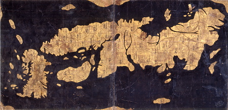
江戸時代以前の地図は海岸線が曖昧で、形もぐちゃぐちゃだった。ただそれを変えたのが伊能忠敬だった。伊能忠敬は50歳になって隠居したがそこから緯度経度の距離十年以上もかけて体がボロボロになりながらも作業を続けた。日本地図完成の前に、伊能忠敬は亡くなってしまったが、その後弟子たちが作り上げ、それはイギリスなど他国にも驚かれるほどの精度となった。
展示
- Tadataka Ino
A geographical surveyor of the Edo period who created the first map of Japan using surveying techniques
- Ino Maps
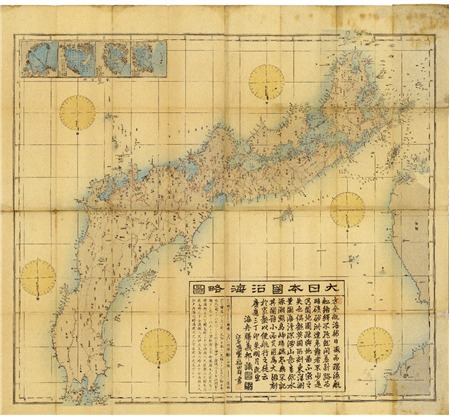
The first scientific maps of Japan based on actual measurements, created from surveys by Tadataka Ino and completed by Kageyasu Takahashi
- Nihon yochi rotei zenzu (Route Map of Japan)
A map of Japan published in the Edo period, the first map in Japan marked with longitude and latitude
- Gyoki Maps (Gyoki-zu)
A general name for maps of Japan created in the Edo period or earlier
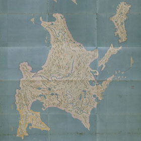
- Hokkaido
The traditional land of the Ainu, once called Ezo-chi

伊能忠敬は有名ですがあまりこの功績を聞くことはありません。そのため、これで伊能忠敬の測量について興味を持ってくれると嬉しいです。
ご高覧ありがとうございました。