Description
This fifteenth-century map shows the precincts of Kyoto’s Shimogamo Shrine, located on the east bank of the Kamo River. Some of the shrine buildings are labeled with inscriptions, making this map an invaluable source for tracing changes in the shrine complex over time.
Data source
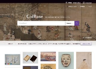
ColBase
"ColBase: Integrated Collections Database of the National Institutes for Cultural Heritage, Japan" is a service that enables a multi-database search of the collections in the four national museums (To...
Contents holder/Provider
Aggregator

National Institutes for Cultural Heritage
The National Institutes for Cultural Heritage (NICH) comprise four National Museums (Tokyo National Museum, Kyoto National Museum, Nara National Museum, and Kyushu National Museum) and two National Research Institutes for Cultural Properties (Tokyo National Research Institute for Cultural Properties, and Nara National Research Institute for Cultural Properties), as well as the International Research Centre for Intangible Cultural Heritage in the Asia-Pacific Region (IRCI) in Sakai City, for a total of seven institutions.
Last updated
September 14, 2026