Map of the Fields of Otogi no shō Estate in Yamato Province 大和国乙木庄条里坪付図やまとのくにおとぎのしょうじょうりつぼつけず
Description
This map lays out the land estates in the environs of present-day Otogi in Tenri that belonged to Daijō-in Temple, a sub-temple of Kōfuku-ji Temple. The land has been divided into a grid of plots, and these plots are further divided into sections, many of which are cultivated by individuals whose names are written over the area for which they are responsible. The map also features the pictorial element of two Tori-i gates lined up over several plots.
Data source
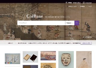
ColBase
"ColBase: Integrated Collections Database of the National Institutes for Cultural Heritage, Japan" is a service that enables a multi-database search of the collections in the four national museums (To...
Contents holder/Provider
Aggregator

National Institutes for Cultural Heritage
The National Institutes for Cultural Heritage (NICH) comprise four National Museums (Tokyo National Museum, Kyoto National Museum, Nara National Museum, and Kyushu National Museum) and two National Research Institutes for Cultural Properties (Tokyo National Research Institute for Cultural Properties, and Nara National Research Institute for Cultural Properties), as well as the International Research Centre for Intangible Cultural Heritage in the Asia-Pacific Region (IRCI) in Sakai City, for a total of seven institutions.
Last updated
July 20, 2026