Description
北海道稚内の西北20キロに浮かぶ離島・利尻島と、利尻島から8キロ西にある礼文島の浄書本の地図。いずれも北を上にした着色図60,000分の1の縮尺図である。経線・緯線ともなく、方位線が数本引かれている。利尻島図は利尻山を段彩法で高度感を表している。
Data source
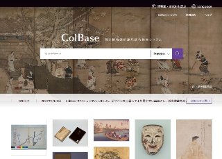
ColBase
"ColBase: Integrated Collections Database of the National Institutes for Cultural Heritage, Japan" is a service that enables a multi-database search of the collections in the four national museums (To...
Contents holder/Provider
Aggregator

National Institutes for Cultural Heritage
The National Institutes for Cultural Heritage (NICH) comprise four National Museums (Tokyo National Museum, Kyoto National Museum, Nara National Museum, and Kyushu National Museum) and two National Research Institutes for Cultural Properties (Tokyo National Research Institute for Cultural Properties, and Nara National Research Institute for Cultural Properties), as well as the International Research Centre for Intangible Cultural Heritage in the Asia-Pacific Region (IRCI) in Sakai City, for a total of seven institutions.
Last updated
May 25, 2026