Description
「五海道其外分間延絵図並見取絵図」は、江戸幕府が東海道、中山道、甲州街道、日光街道、奥州街道の五海道及びその主要な脇街道の実態を把握するために作成した絵図。道中奉行の直轄事業として寛政12年(1800)から7年の歳月を費やして完成した。
Data source
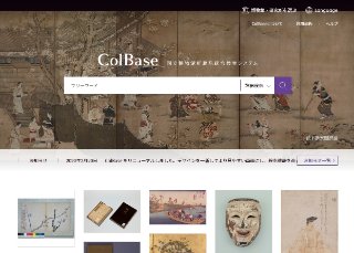
ColBase
"ColBase: Integrated Collections Database of the National Institutes for Cultural Heritage, Japan" is a service that enables a multi-database search of the collections in the four national museums (To...
Contents holder/Provider
Aggregator

National Institutes for Cultural Heritage
The National Institutes for Cultural Heritage (NICH) comprise four National Museums (Tokyo National Museum, Kyoto National Museum, Nara National Museum, and Kyushu National Museum) and two National Research Institutes for Cultural Properties (Tokyo National Research Institute for Cultural Properties, and Nara National Research Institute for Cultural Properties), as well as the International Research Centre for Intangible Cultural Heritage in the Asia-Pacific Region (IRCI) in Sakai City, for a total of seven institutions.
Last updated
October 26, 2026