Description
東海道分間延絵図と一緒に制作された、東は蝦夷地、西は対馬に及ぶ街道、海路の絵図。各地の石高や、それに至る距離、藩主の江戸屋敷の場所などが記されている。
Data source
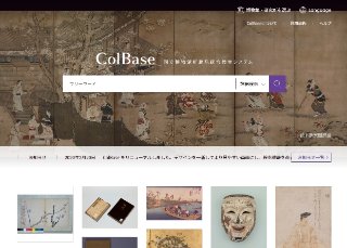
ColBase
"ColBase: Integrated Collections Database of the National Institutes for Cultural Heritage, Japan" is a service that enables a multi-database search of the collections in the four national museums (To...
Contents holder/Provider
Aggregator

National Institutes for Cultural Heritage
The National Institutes for Cultural Heritage (NICH) comprise four National Museums (Tokyo National Museum, Kyoto National Museum, Nara National Museum, and Kyushu National Museum) and two National Research Institutes for Cultural Properties (Tokyo National Research Institute for Cultural Properties, and Nara National Research Institute for Cultural Properties), as well as the International Research Centre for Intangible Cultural Heritage in the Asia-Pacific Region (IRCI) in Sakai City, for a total of seven institutions.
Last updated
July 20, 2026